Wind and Sea in Greece – How to Understand the Beaufort Scale
The Beaufort Wind Scale, or simply the Beaufort Scale, is a system that helps us understand the strength of the wind and its effects on the sea and land. It was devised in 1805 by the Irish hydrographer Francis Beaufort, with the intention of standardizing the way wind strength is assessed. The scale is used worldwide, including along the coasts of Greece – a country visited by tourists from around the world, enjoying its crystal-clear waters and winds that occasionally bring challenges.
In this article, you will learn how to understand and use the Beaufort Scale, how to recognize different wind levels while at the beach, on a rented boat, or sailing, and when it’s time to be cautious.
What is the Beaufort Scale and How Does It Work?
The Beaufort Scale measures wind speed, expressed through levels from 0 (calm) to 12 (hurricane). Each degree on the scale describes the characteristics of the wind, waves, and conditions on land and at sea. This means that, regardless of where you are – whether it’s a sandy beach in Thassos, cliffs in Lefkada, or a promenade in Thessaloniki – you can easily assess the wind strength based on the Beaufort Scale.
Why is it Important to Know the Beaufort Scale?
If you are planning to rent a boat and sail alone, go on a cruise on smaller boats, or simply want to swim in calmer conditions, knowing the Beaufort Scale can help you choose the right time for enjoyment. Additionally, being familiar with the wind strength can help you make better safety decisions – for example, when to refrain from swimming or when it is better to stay on land due to strong waves.
How to Recognize the Levels of the Beaufort Scale?
Here is how the sea, wind, and surroundings look at each level of the scale:
| DEGREE I SEA STATE |
MARINE CONDITIONS |
LAND CONDITIONS |
WIND SPEED AND WAVE HEIGHT |
FLAG WARNINGS |
|---|---|---|---|---|
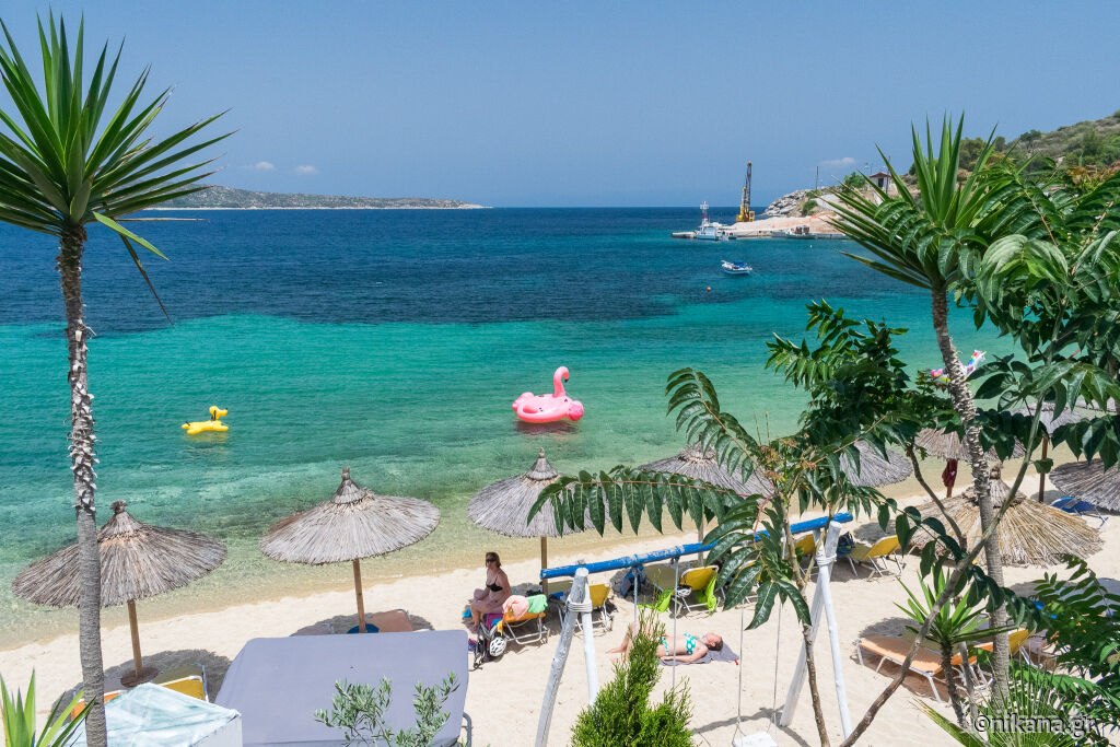
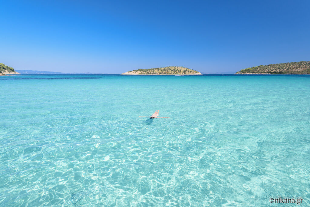
| 0 Beaufort (calm) | The sea is as smooth as glass, without waves. Ideal time for swimming and relaxation. | Smoke rises vertically. | < 2 km/h < 0.5 m/s waves 0m |
|
| 1 Beaufort (light air) | A gentle breeze that does not create waves. The sea starts to form small ripples, but without foam on the waves. |
You can feel a slight breeze on your skin. | 2–5 km/h 0.5–1.5 m/s waves 0–0.3 m |
|
| 2 Beaufort (light breeze) | Waves are visible, but still calm and without foam. Still ideal for light paddling. |
Leaves on trees gently move. | 6–11 km/h 1.6–3.3 m/s waves 0.3–0.6 m |
|
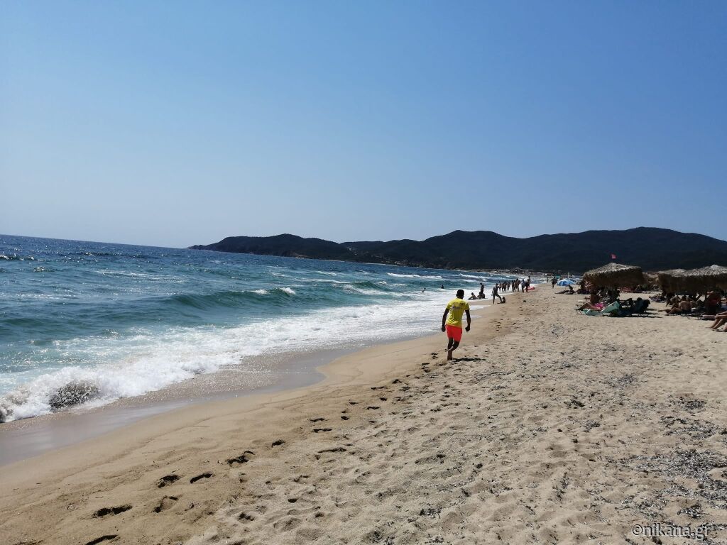
| 3 Beaufort (gentle breeze) | Increased water movement is visible – waves break at the tops. Caution on the water. |
Flags on land flutter as well as leaves on tree branches. |
12–19 km/h 3.4–5.5 m/s waves 0.6–1.2 m |
Yellow flag (Warning) Weak swimmers should not enter the water. Good swimmers need increased attention and caution. All inflatable props should not be used (especially not by children). |
| 4 Beaufort (moderate breeze) | The sea is livelier, and the waves are longer and breaking. Foam is more common. Swimming or paddling is more challenging. |
Flag flutters. Wind bends twigs and raises dust and light paper. | 20 – 28 km/h 5.5 – 7.9 m/s waves 1 – 2 m |
Yellow flag (Warning) Weak swimmers should not enter the water. Good swimmers need increased attention and caution. All inflatable props should not be used (especially not by children). |
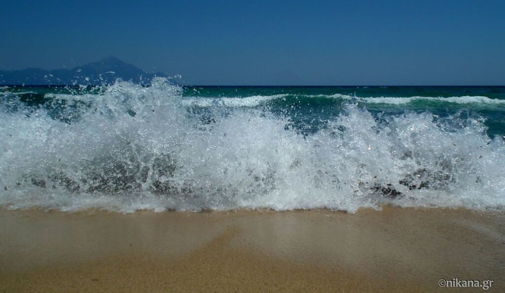
| 5 Beaufort (fresh breeze) | High and frequent waves. The sea is rough even in calmer areas. Sailing and swimming are not recommended. | Wind bends larger branches and slender trees sway. | 29 – 38 km/h 8 – 10.7 m/s waves 2 – 3 m |
Yellow or red flag at the discretion of lifeguards |
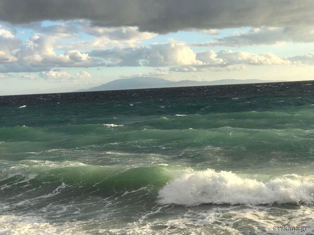
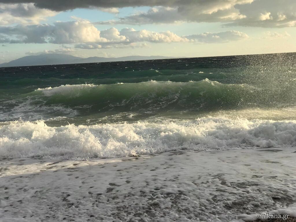
| 6 Beaufort (strong breeze) | The sea is rough, with large waves and lots of white foam. | Wind howls, moves large tree branches. Movement along the coast is difficult due to strong winds. | 39 – 49 km/h 10.8 – 13.8 m/s waves 3 – 4 m |
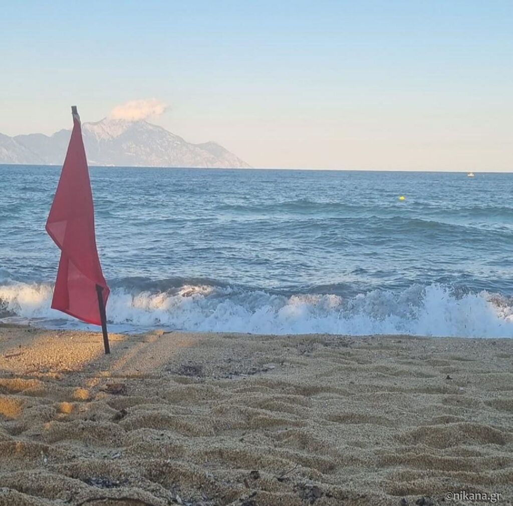
Red flag on the beach - swimming prohibited |
| 7 Beaufort (near gale) | The sea is full of high waves and white foam creates streaks on the surface of the water. | Entire trees sway, walking is difficult. Caution or withdrawal to safety is recommended. |
50 – 61 km/h 13.9 – 17.1 m/s waves 4 – 5.5 m |
Red flag on the beach - swimming prohibited! |
| 8 Beaufort (gale) | Waves are larger and longer, with foam carried on the crests. They can “occupy” a larger part of the beach, reaching deeper inland. |
Wind breaks branches on trees. Withdrawal to safety is recommended. |
62 – 74 km/h 17.2 – 20.7 m/s waves 5.5 – 7.5 m |
Navigation becomes dangerous. There may be delays in ferry navigation. |
| 9 Beaufort (severe gale) | High waves, dense streaks of foam downwind, reduced visibility. | On land, wind topples trees and can cause significant damage to structures. Stay indoors. |
75 – 88 km/h 20.8 – 24.4 m/s waves 7 – 10 m |
Ferries do not sail out of ports. |
| 10 Beaufort (storm) | Very high waves with large hanging crests, almost the entire surface is white. | Significant damage to buildings, uproots trees. Stay indoors. |
89 – 102 km/h 24.5 – 28.4 m/s waves 9 – 12.5 m |
Ferries do not sail out of ports. |
| 11 Beaufort (violent storm) | Extremely high waves, the entire surface white with foam, greatly reduced visibility. | Significant damage to buildings. Seek shelter. | 103 – 117 km/h 28.5 – 32.6 m/s waves 11.5 – 16 m |
Ferries do not sail out of ports. |
| 12 Beaufort (hurricane) |
The air is filled with water droplets and foam, the entire surface is white, visibility is severely limited. | Seek shelter. | ≥ 118 km/h ≥ 32.7 m/s waves ≥ 14 m |
Any navigation is impossible. |
Useful Safety Tips for the Sea
Swimming and Sunbathing: If the wind is below 3 Beaufort, the weather is perfect for relaxation. Avoid swimming at level 4 or higher. All inflatable props should not be used (especially not by children).
Sailing and Paddling: For beginners, winds up to 3 Beaufort are recommended, while anything above that is challenging even for experienced sailors.
Land Activities: With a wind strength of 7 Beaufort and above, it is advisable to avoid open spaces, as it can be dangerous due to falling branches or objects.
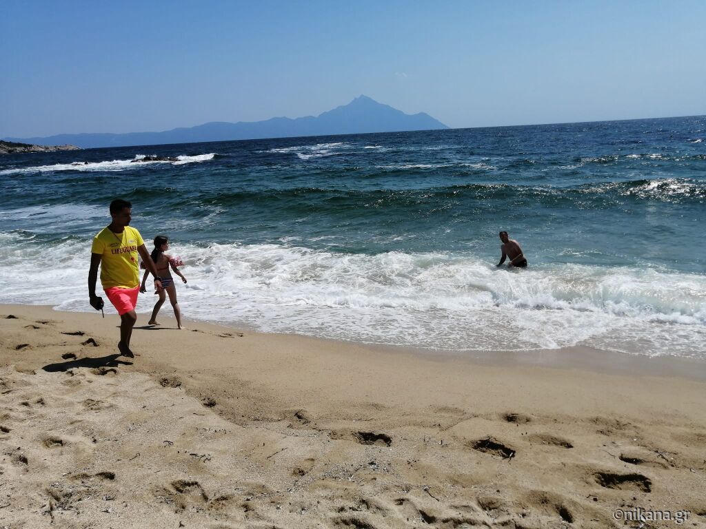
In Greece, you will often hear or read about how many Beaufort are in the weather forecast, so this scale can help you understand what that means and what conditions to expect at the beach. During the summer in Greece, there are usually no large waves and winds, and any storms are short-lived.
On the fingers of Halkidiki, Kassandra, Sithonia, and Athos, the situation is such that if the waves are larger on one side, they are smaller on the other side because of the windward.
Watch the video showing famous resorts in Halkidiki with winds over 10 Beaufort HERE.
The Beaufort Scale is not just a scientific fact but a tool that can help you plan safe and enjoyable moments on the seaside. And if you embark on a boat trip or sailing, check the level of the Beaufort Scale – your seafaring experience will be safer and more relaxed!
And to summarize - FOLLOW THE WARNINGS ON BEACHES - FLAGS!
We are always here to help you explore Greece! Follow us for the latest information, useful tips and authentic experiences to spend an unforgettable vacation in Greece!
We offer over 3,000 accommodations. Choose the right one for you and your family HERE.
Follow us on social networks where we regularly share exclusive offers, discounts and special arrangements for vacations in Greece as well as information, advice and useful news.
Facebook:Nikana.gr
Instagram: @nikana.gr
Tiktok: nikana.gr
Facebook grupa: Live from Greece
YouTube kanal @NikanaTravel
Write to us at e-mail: nikana@nikana.gr
Our site nikana.gr is the leading source of information about Greece.



Post a Comment
NOTE
All your questions in the comments will receive an answer via email so check your inbox shortly after you posted comment. For more detailed questions and responses, contact us via mail nikana@nikana.gr.